Bamford Edge Sunset Walk, 3 Miles
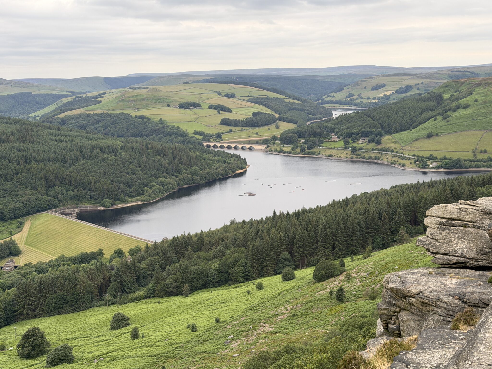
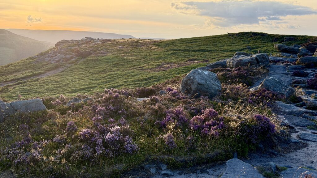
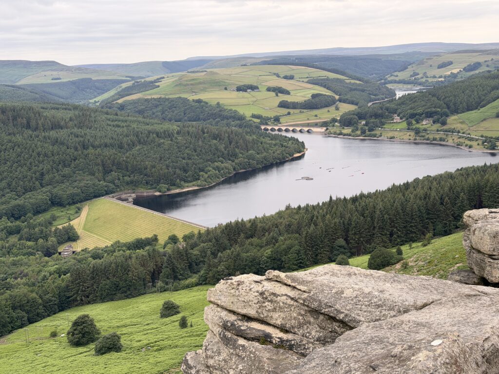
The views from Bamford Edge across Ladybower reservoir are easily some of the best in the whole of the Peak District and if you pair that with sunset and the golden glow then this place is an absolute must see.
About the walk
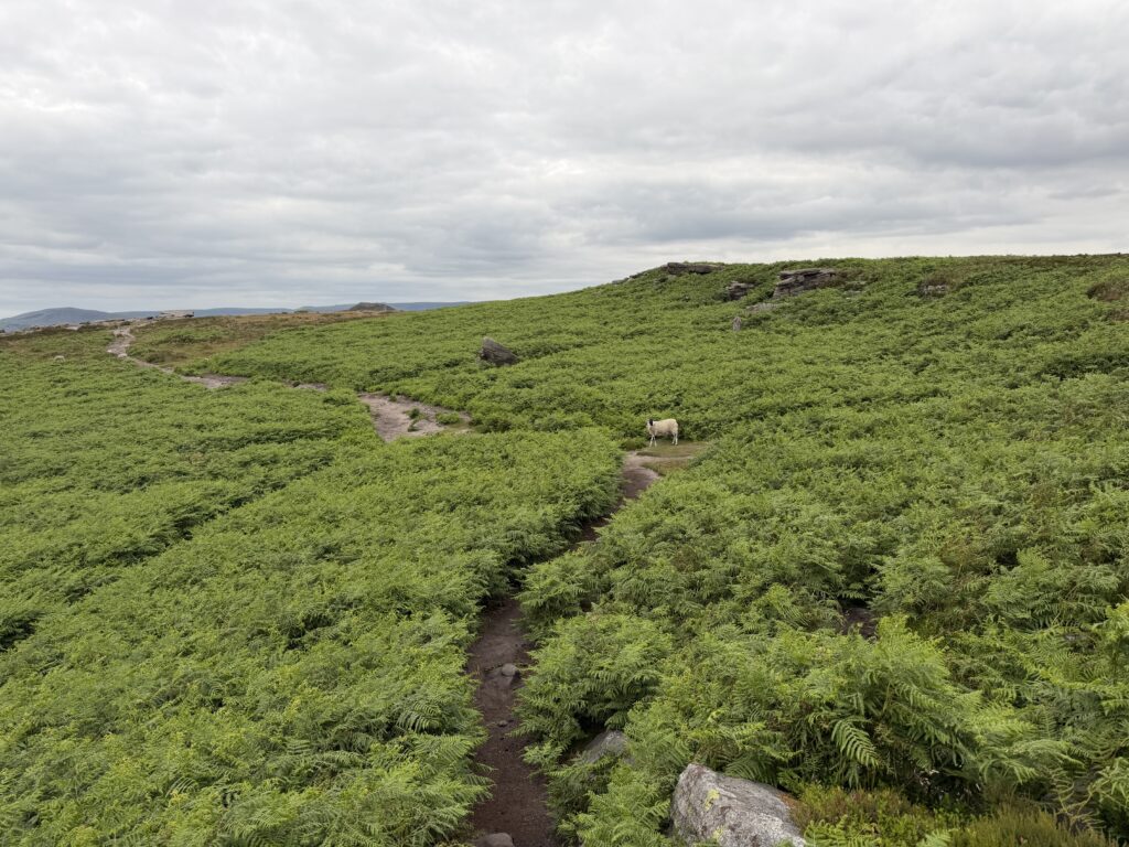
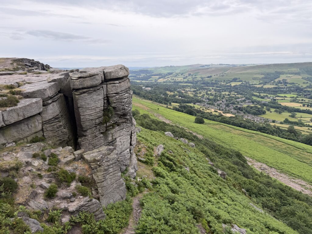
This is a pretty straight forward walk, just follow the main path all the way towards the edge and then along it. After about a mile you will be on the edge and soon to get a glimpse of Ladybower below you. If you’ve ever walked around the reservoir you’ll know how beautiful it is alongside it but from up here I think its even better.
How to find it, where to park
The closest postcode to use for parking is S33 0AD but this does cover a large area and could put you wrong, you’re looking for a little roadside lay-by alongside the footpath. The easiest way to find it is use the directions on the google map below, although be sure to load it before you get here as signal can be poor. If you know the area, head out of Bamford towards Ladybower Reservoir and just before the Yorkshire Bridge pub you will see a narrow lane going up a steep hill on your right, head up here and follow it to the top where you’ll see a footpath upto the edge.
The route
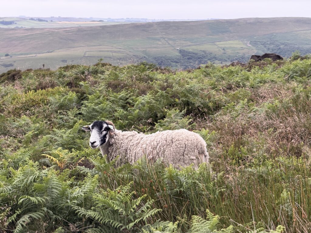
This is a simple out and back route so once you reach your viewing spot or where you want to turn round, just follow your footsteps back to the car. From the lay-by head over the stile on your side of the road and up the steep hill. You’ll stay on this footpath all the way, just following it through the moorland, over little boulders and towards the edge. It will head off to the left slightly after abut a mile which will lead you towards the edge. The views along here get better and better so take your time and find a nice spot to sit and enjoy the view.
Walk highlights
- Amazing views over Ladybower reservoir
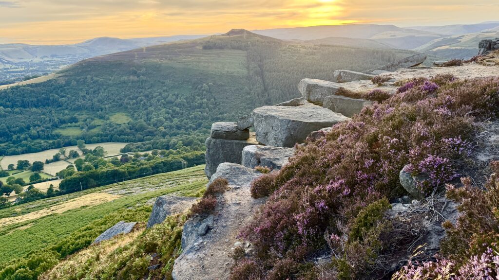
- Great in heather season
Things to see & other walks nearby
Bamford Edge is in a great location with so many beautiful walks around. Stanage Edge will be behind you as you’re looking over Ladybower and Win Hill is the peak you can see across from you with Mam Tor in the background. Bamford itself is a small village but has a pub, bakery and even a train station for those of you that use public transport.
The kit I used on this walk
Affiliate links · no ads · only gear I took
Below is a full list of everything I wore and took with me. I went mid august, it was warm and dry so if you visit in winter your packing list may look quite different to this. I took a hot chocolate to sip whilst watching the sunset across the reservoir.
- Content Creation As A Solo Hiking Girl – Everything I Use Everything I use to film and photograph my adventures Read →
- RAB Microlight Alpine Jacket Warm, lightweight & packable Shop →
- Deuter Speed Lite 23l Lots of space for a small bag Shop →
- Acai Trek Shorts My go to hiking shorts Shop →
- Acai On The Go Tee My everyday hiking top Shop →
- Garmin Epix Pro (Gen 2) Watch The only watch you need, with maps Shop →
- Ponyback Cap The cap for every adventure. Shop →
More Peak District walks
All walks →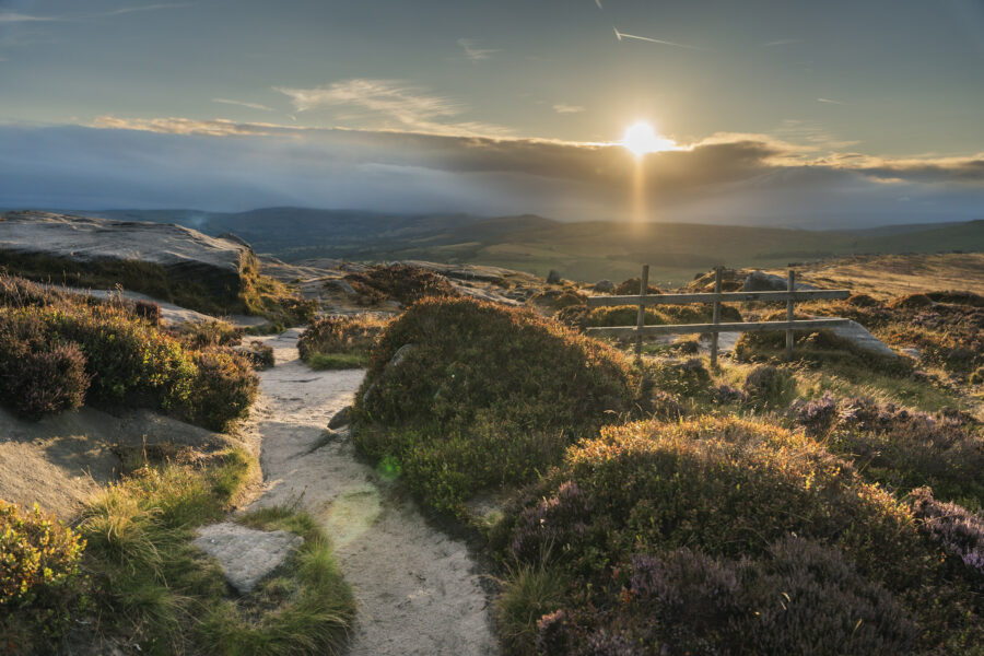 Peak District
Stanage Edge, Balcony & Robin Hood’s Cave, Sunset Walk
 Peak District
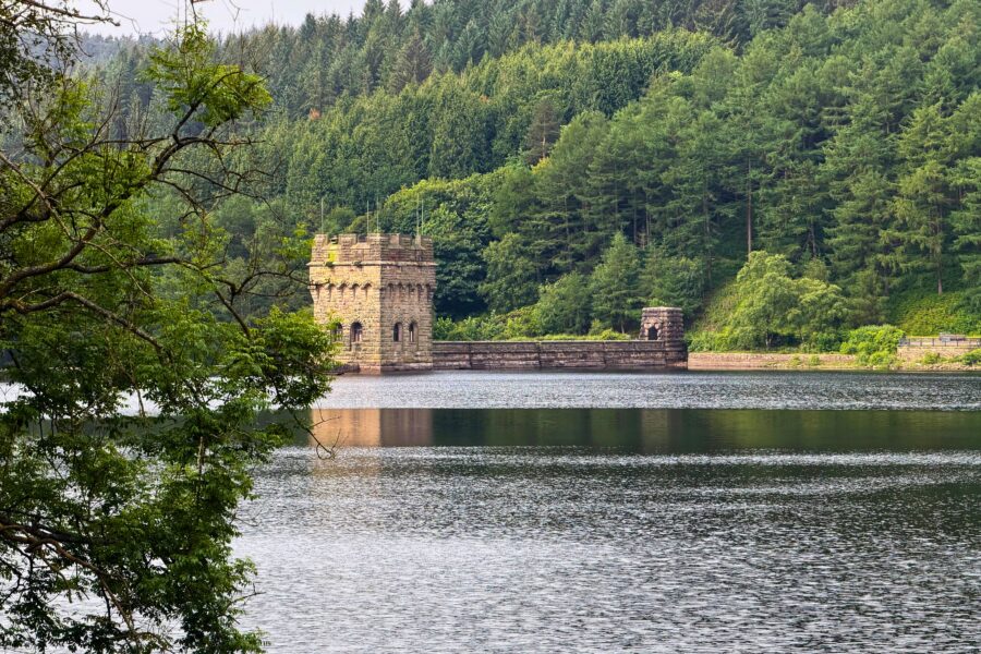
Derwent Edge & Ladybower Reservoir 10 Mile Walk
 Peak District
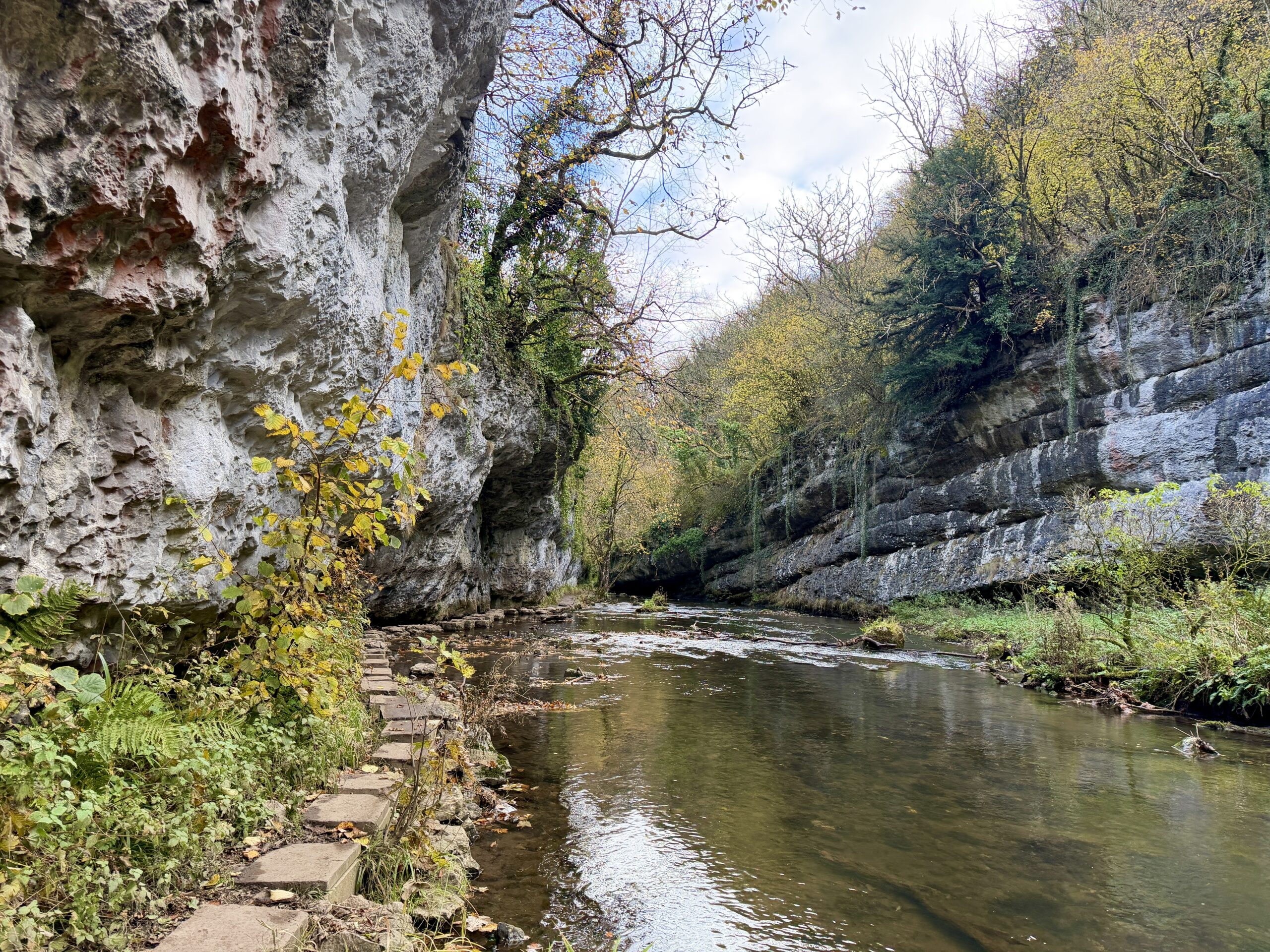
Millers Dale, Chee Dale & Monsal Trail, 5 Mile Circular Walk
Liked this walk?
Get my new walks in your inbox each month, plus reader discounts and first dibs on events.
Support me with a coffee
Every walk on here is free to read. If one helped you plan a day out, a coffee on Ko-fi keeps the boots on the trail.