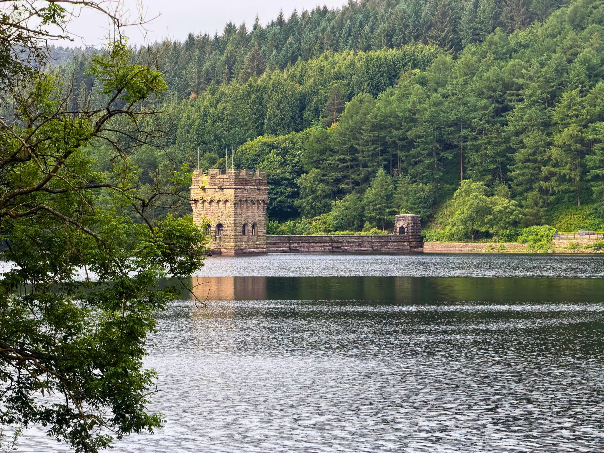
Derwent Edge & Ladybower Reservoir 10 Mile Walk
Derwent reservoir gets lots of visitors every day but only a handful of them ever make it upto Derwent Edge. This walk really does have it all, far reaching views, unusual rock formations to look out for, a trig point and even a cafe once you make it down the other side. If you haven’t done this one already, make sure you add it to your list, she’s a beauty.
About the walk
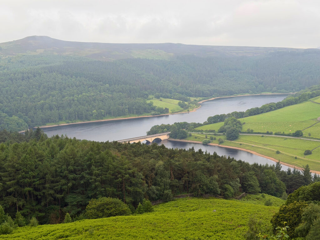
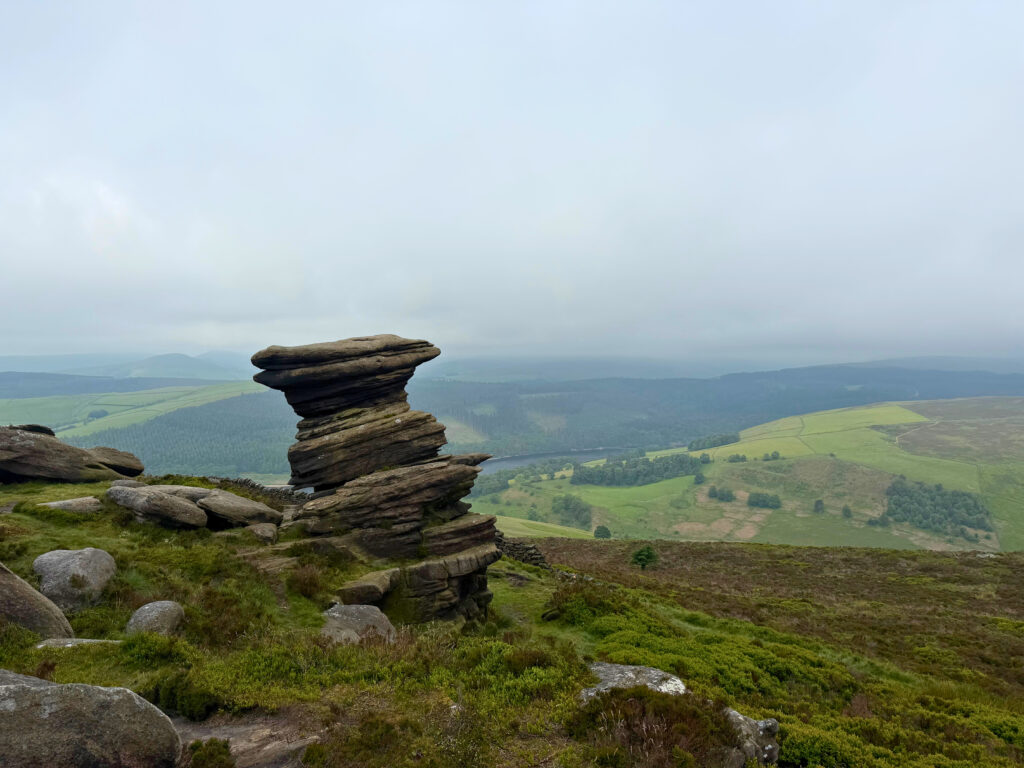
The first half of this walk is very quiet, you’ll feel like you’ve got the place to yourself. You have amazing views in every direction, great easy to follow stone paths and just the sound of nature. There are a lot of ground nesting birds up here and they can be very noisy and even territorial at times. They can sometimes get close to you and I’m not here to scare you but maybe even a little dive bomb now and again, don’t worry though they’re harmless they never get too close. The rock formations on the edge are pretty cool and although my photos probably don’t do them justice, they’re huge and it does get you questioning why they’re there and how they’ve ended up ‘stacked’ like that. I mean its nature, odd things happen I just like to question things when I’m out and about.
How to find it, where to park
The best place to park for this walk is in the parking bays alongside the road at Ladybower Reservoir. The postcode for this is S33 0AX but the easiest way to get here is follow the Google maps directions further down this page. If you do arrive and all the parking is taken up, you can also park in the Derwent Valley visitor centre, just cross the bridge, turn right and you’ll see it after about a mile.
The route
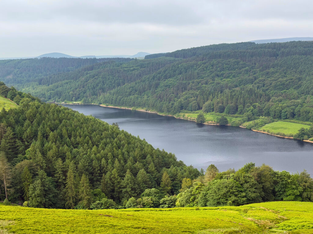
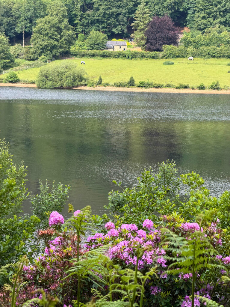
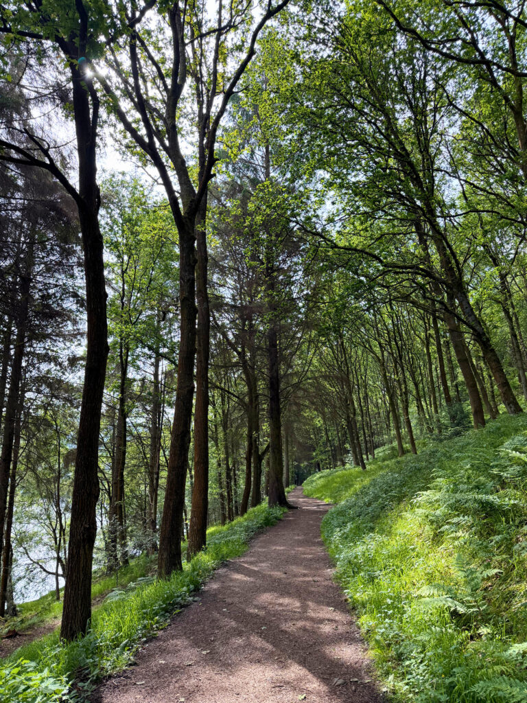
This is a circular route which starts on the main road alongside Ladybower Reservoir. The beginning of this walk is steep but the views get better and better so if you need an excuse to stop for a breather, your view is it. Take it steady up this first section, it levels out on the tops and it really is the hardest bit of the whole route. You’ll be spoilt with amazing views along the edge which you’ll follow for a good while before the path takes you slightly further in. At the cross section of footpaths, you want to head straight across it and towards the trig point at Back Tor. From here head downwards and back towards the reservoirs, it’ll take you past Lost Lad, a cairn with lots of local place names & directions on it before descending down the steep bank through the woodland and to the waters edge. Turn left at the bottom here, walk past the Derwent Dam wall, cross in front of it, through the visitor centre and alongside Ladybower, through woodland until you reach the road bridge and back where you started.
Walk highlights
- Ladybower Reservoir
- Rock formations – Salt Cellar, Cakes of Bread, Wheel Stones and Coach & horses
- Back Tor trig point
- Lost Lad cairn
- Derwent Reservoir
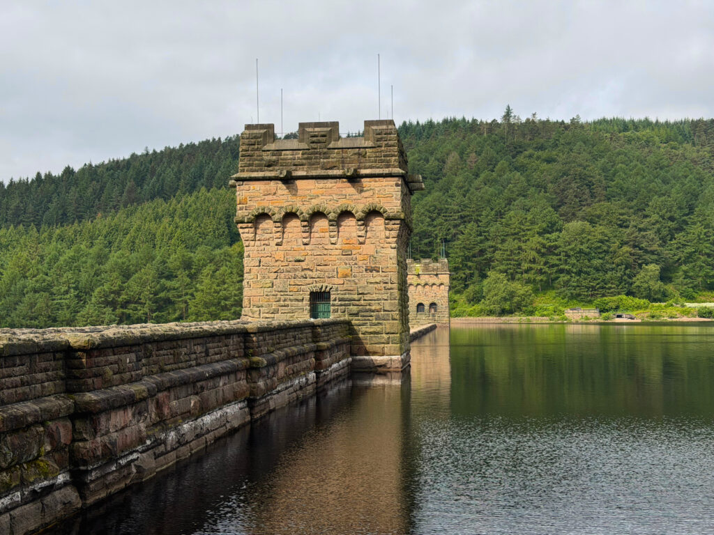
- Derwent Dam wall – this overflows after prolonged heavy rain
- Fairholmes Visitor Centre
- The lost villages under the Ladybower Reservoir (flooded to make the dam in 1944) only visible when water levels are low.
Things to see & other walks nearby
This is a great area with so much to see locally, you have Alport Castles across the other side, Win Hill across the main Ladybower Reservoir, there’s the famous Snake Pass road just a 5 minute drive from here if you’re done with walking for the day and one of my favourites is Bamford Edge which is amazing for sunset but does require a short walk. There are a number of pubs dotted around the area and for more choice you have Hathersage and Castleton which are both about 10 minutes away by car.
The kit I used on this walk
Affiliate links · no ads · only gear I took
I headed here early morning in the hope of catching sunrise but the cloud didn't lift in time. It was a little chilly on the top but once the sun popped through it was a beautiful day. I'd packed a picnic and flask of coffee because I knew I'd be out for a few hours and although I didn't tuck into my food until I got back in the car, I was very tempted to a bacon bap at the visitor centre, they smelt amazing, so although i'd always recommend taking snacks, if a bacon bap sounds like the icing on your cake after a nice walk, then its a great option to have.
- Content Creation As A Solo Hiking Girl – Everything I Use Everything I use to film and photograph my adventures Read →
- Acai Quarter Zip Super soft mid layer Shop →
- Acai Trek Shorts My go to hiking shorts Shop →
- Garmin Epix Pro (Gen 2) Watch The only watch you need, with maps Shop →
- Ponyback Cap The cap for every adventure. Shop →
- La Sportiva TX4 Boots The good all rounder Shop →
More Peak District walks
All walks →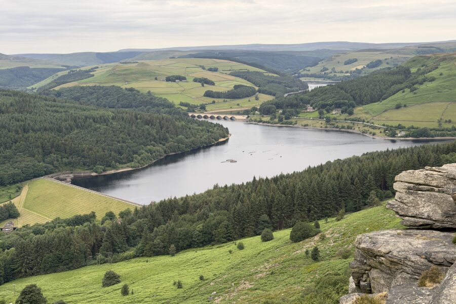 Peak District
Bamford Edge Sunset Walk, 3 Miles
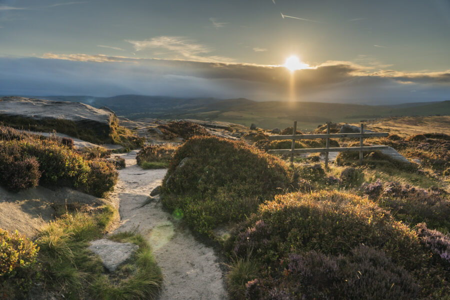 Peak District
Stanage Edge, Balcony & Robin Hood’s Cave, Sunset Walk
 Peak District
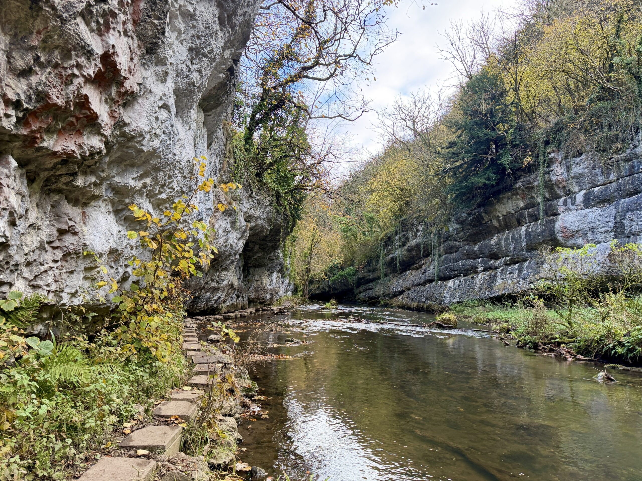
Millers Dale, Chee Dale & Monsal Trail, 5 Mile Circular Walk
Liked this walk?
Get my new walks in your inbox each month, plus reader discounts and first dibs on events.
Support me with a coffee
Every walk on here is free to read. If one helped you plan a day out, a coffee on Ko-fi keeps the boots on the trail.